
'Liquid gold' draining away as Naples, Fort Myers areas lose more wetlands each year
By Amy Bennett Williams | Ft Meyers News Press
It should come as no surprise that a huge swath of our wetlands have vanished in the last two decades.
The information is right out in the open. No one’s trying to hide it. It’s recorded in formal determinations, public records and perfectly legal permits, all of which are freely available for citizens to examine.
And yet, for those who know what it means, seeing the loss mapped out feels like a gut punch.
Created by the Conservancy of Southwest Florida, and quietly released earlier this year, an interactive online tool charts the disappearance of the region’s wetlands – decades of erasure now visible in pale green and Pepto pink. And though the mapmakers chose the color marking the now-dry acres solely for visual contrast, that it's the same hue as a heartburn remedy may seem fitting to some worried about overdevelopment.
From the Ten Thousand Islands to the Caloosahatchee, the story is the same: watery places that once shimmered and surged with life have given way to rooftops, roadbeds, and retention ponds.

Southwest Florida is one of the wettest places in the wettest state in the continental United States, and for decades, all that water was seen as nothing but trouble.
Heartburn might well characterize how this all hits Capt. Franklin Adams, a native south Florida Gladesman from a family that fished, hunted and roamed the watery woods, "You know the story," he says. "We saw so many irreplaceable, special places drained, damaged, done away with."
So Adams has spent his life fighting for those places, taking newcomers to see them, filing countless public comments on government projects, steering environmental nonprofits and generally speaking and showing up for what he holds precious. Adams is still angry and he's still energized – he's got kids and grandkids to think of – quoting what the late environmental advocate Joel Kupenberg once told him: "I'm sure that when the devil was preparing hell, the first thing he did was to drain the wetlands."

What happened to the 70 square miles that were wetlands?
In just 24 years, Collier County lost 22,000 acres of wetlands or 17%; Lee County, 20,000 or 31% – nearly 70 square miles.
Taking both counties together, "there has been 22% loss of wetlands between 1999 and 2023," says the Conservancy's Senior Environmental Planning Specialist Julianne Thomas, who led the mapping effort. "Wetlands are not split evenly between the two counties – in 1999, the wetland split was one third of the regional wetlands were in Lee with two thirds in Collier. In 2023, the wetland split is 29% Lee County, 71% Collier County."
Most of what's disappeared the past two decades – more than 60%, according to the nonprofit Conservancy’s analysis – is now development.
The map, using data pulled from government agencies and tech companies using geographic information systems, known as GIS, doesn’t explain why or how or how they went away. It simply lays out where they did.
“It just shows us where wetlands have disappeared over this almost 25-year period,” says Amber Crooks, senior environmental policy advisor with the Conservancy.
Like tourism dollars? Thank a wetland
What the map makes clear is that Southwest Florida is among the country’s hotspots for wetland loss, a dubious distinction established in a 2014 National Oceanic and Atmospheric Administration study that singled out Lee County as a place meriting particular concern.
But why should anyone care? The answers aren’t just tree-huggery.
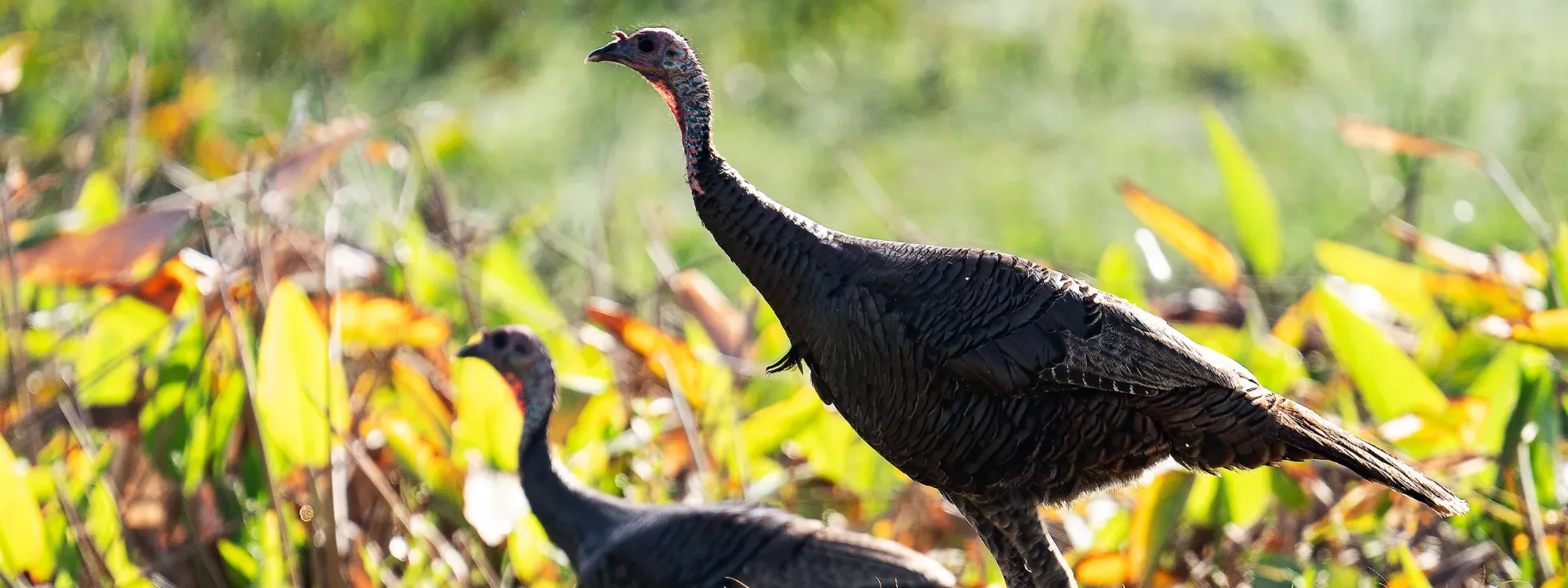
It’s clearly in humans’ fiscal interest to preserve the places that hold water on the landscape. Wetlands are not just soggy parcels of undevelopable land. They are sponges that blunt floods, filters that cleanse water, and sanctuaries that cradle a third of the country’s threatened and endangered species.
Wetlands and Southwest Florida’s prosperity are braided together, with clear economic consequences when they vanish, says Professor Win Everham, a Florida Gulf Coast University ecologist.
Among myriad benefits, wetlands act as natural filters that prevent harmful algal blooms. Without them, nutrients and runoff go directly into rivers, creeks and coastal waters, causing algal blooms that harm tourism and local businesses. "It turns out to be bad for our economy if the beaches are filled with dead fish — and red drift algae and red tide are getting fed from the things that flow off of our landscape into the near coastal waters. (It's) just as if we were driving boats and pouring fertilizer out the back of the boat,” he says.
Beyond absorbing pollution, that ability to retain water helps in hurricane times.
“One acre of wetland can store over a million gallons of flood water,” Crooks explains. “These wetlands can hold onto that water in times of storm events and release it gradually compared to when you have impervious surfaces.”
In other words, where wetlands go, safety follows, both human and ecological.

If you don't know how things were, it all might look just fine
Across the region, the historic balance has been upset, but because the change happened incrementally, it often goes unnoticed – particularly by those newly arrived.
That phenomenon has a name, says Matt DePaolis the Sanibel-Captiva Conservation Foundation's director of environmental policy. It’s a version of the “Overton window” effect: the idea that people’s expectations shift based on what they perceive as normal. “Because we have that influx of new people, they’re always really basing what they think (about) what nature looked like on the moment that they arrived.”
This shifting baseline means that many residents have no idea what’s been lost. They may see a neighborhood lake and assume it’s natural, not knowing it replaced a cypress dome. They may paddle through a canal and marvel at the fish, unaware the original wet prairie that once supported a richer array of life is now buried under fill.
The consequences extend beyond perception. When wetlands disappear, their ecological functions don’t just transfer elsewhere. Developers often build government-mandated replacement wetlands in an effort to comply with mitigation rules, but experts say these artificial systems often fall far short.
Mandated mitigation may ignore specific wildlife species' needs, Crooks says. For example, state wildlife officials consider endangered Florida panthers a “wetland dependent species” because the big cats frequent cypress swamp habitats.
But a developer required to create a wetlands-for-condo replacement may well not choose (or be able to) replicate an old-growth bald cypress strand. "Despite being functionally replaced per the state’s (rules) a loss of overall wetland acres may hurt the panther, since this species requires large areas of habitat."
Wood storks, a threatened species, are another example, Crooks says. "While mitigation may replace the overall wetland function lost to development, I don’t believe there is a requirement in the state’s wetland rules to replace 'like-for-like' for short-hydroperiod wetlands." Those places (as opposed to wetlands that stay soaked more of the year) are needed for birds like the storks, roseate spoonbills and ibis that feed by touch, since they dry down at certain times of the year to levels low enough for the birds to feel their prey. "Therefore, mitigation wetlands may miss the mark on the needs of some wildlife species," she says.
Bottom line: "The created wetlands just don’t perform as well as the natural wetlands,” Crooks says. “They can try to recreate Mother Nature and they might hit a few points, but it’s just not going to be as effective as keeping the wetlands where they’re at.”

How does losing another 700 acres of wetlands sound?
This isn’t just theoretical. As Crooks points out, current permit applications for planned large development projects – the so-called “Big Six” in Collier and Lee County – could pave over another 700 acres of wetlands. Four hundred of those acres are tied to Collier Enterprises’ plans, including the controversial “Bellmar” development in the proposed town of Big Cypress.
Though the federal Clean Water Act mandates a “least damaging alternative,” the Conservancy would like to see regulators push back on proposed impacts to wetlands. "For example, we have asked that the over 400 acres of wetland impacts associated with Rural Lands West and Bellmar – both proposed within the Camp Keais Strand flowway and corridor – be avoided," Crooks says.
Because these projects have not yet been permitted, the nonprofit is actively advocating for the reductions.
In Southwest Florida, DePaolis sees the policy landscape as skewed against wetland protection. “We’ve set up a system that is just primed for wetland destruction and it’s not going away,” he says. A bill presented to Florida Governor Ron DeSantis June 18 would allow developers to buy wetland mitigation credits in distant watersheds, breaking the link between destruction and local restoration.
It’s a disconnect that worries Everham, who’s taught at FGCU (home of The Water School) since its founding. He estimates that Southwest Florida has already lost around half its original wetlands, both coastal mangroves and inland swamps. In their place come problems that compound over time: flashier flooding, declining water quality, and dwindling aquifer recharge.
“We’re not going to run out of water,” Everham says, “but we’re going to run out of cheap water.”

SWFL's dependable afternoon rains? Wetlands help make them
The wetlands’ absence reverberates even in the region’s climate. Watery places contribute to the cycle of afternoon rains through evapotranspiration, in which water moves from earth to sky and back again. Without the rains, the land dries out and heats up. “Areas where wetlands are removed become hotter due to loss of cooling evaporation,” Everham says.
As the professor explains, standing water on the landscape gets heated up, evaporates and forms clouds. As they rise and cool, they drop the rain back down. Plants are a key part of the cycle, releasing water from their leaves into the atmosphere which can then rain back down, Everham says. “You get rid of the plant, you get rid of the forested wetlands, you get rid of the standing water, and you're not priming that pump."
And then there’s biodiversity. Of all the species federally listed as threatened or endangered, fully a third are found exclusively in wetlands. Half rely on them for part of their lifecycle. That means every acre lost may represent more than just habitat; it could be a tipping point for species survival.
There are efforts underway to change course. Both the Conservancy and SCCF are urging local governments to adopt more holistic land-use planning. Piecemeal permitting decisions may comply with regulations on paper, but taken together, they often result in irreversible ecological harm.
“We need to start questioning … if people should be building in these areas.” says DePaolis.
Some projects offer hope. Everham points to Babcock Ranch, a planned community straddling Lee and Charlotte counties designed with conservation in mind. Though not perfect, it represents an attempt to balance development with ecological integrity.
Still, real change may only come when residents begin to see wetlands as necessary infrastructure – as valuable as any highway or power grid – not as wastelands. That shift requires public engagement and a willingness to learn the landscape.
“If you’ve moved down here from someplace else,” Everham says, “you can maybe make the argument that you have an obligation to develop a sense of place … The landscape is different. The ecology is different, and you need to know where you are.”
The Conservancy's map makes it easier to do just that. Each vanished acre has been recorded. Each managed wetland made plain. The map doesn’t judge or editorialize. It simply shows the truth, then invites us to reckon with it.
Southwest Florida infrastructure crisis you likely haven't heard about