
Osceola Greenprint: A Free, Publicly Available Resource from The Nature Conservancy
A new tool from the Nature Conservancy, The Osceola Greenprint, provides maps, data, and supporting context to better inform land use decisions, advance smart growth and sustainable development, and build healthy and resilient communities. The tool is available in both English and Spanish.
The goal of the Osceola Greenprint is to help planners, agencies, academics, practitioners, community organizers, and others include the benefits of natural infrastructure in conservation and smart growth planning while helping avoid or mitigate adverse impacts from land-use decisions on people and nature.
The Osceola Greenprint is a free, publicly available resource accessible in both English and Spanish that can enable diverse groups of users to identify, assess, understand, and communicate the multiple benefits of natural infrastructure and where to incorporate nature-based solutions .
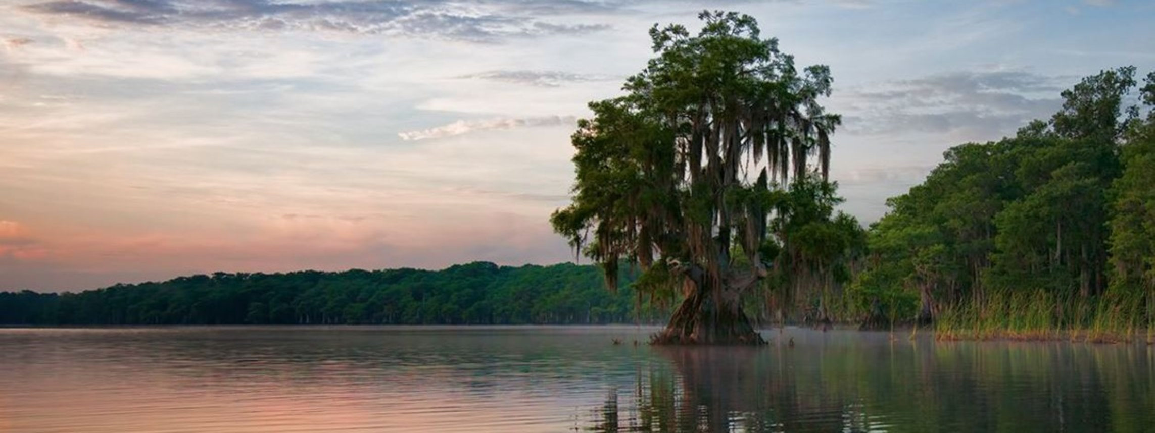
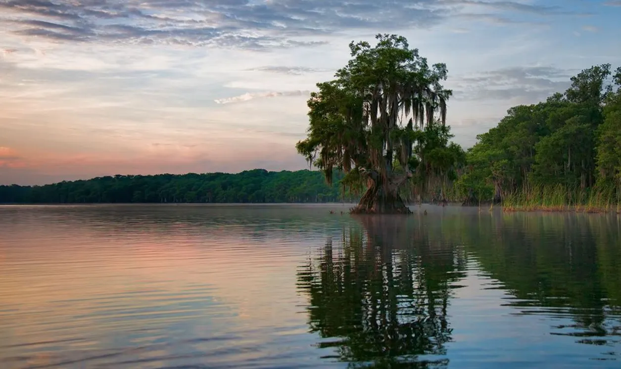
Disney Wilderness Preserve © Val Hahn
How the Greenprint works
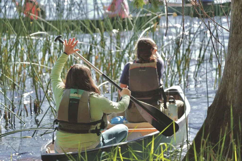
With the Osceola Greenprint, users can explore natural resource data in a web-based platform or download data into their own GIS (geographic information systems) environment. Users can select from a small set of predefined boundaries, ranging from the whole county to cities and communities, or they can use more advanced tools to draw an area, upload shapes in common GIS formats, or select parcels by clicking the map or entering parcel ID numbers.
Once a shape is selected, a report specific to that area highlights the importance of nature and its benefits under several themes:
- Overview
- Built Environment
- Wildlife Corridor
- Biodiversity and Habitat
- Freshwater
- Resilience
- Parks and Recreation
Each theme includes multiple indicators and provides base information such as natural and agricultural resource hotspots. This helps users evaluate synergies and tradeoffs between the value and benefits of natural infrastructure in Osceola County and other options. The tool demonstrates the significance of these resources at a local scale so users can identify and clearly communicate the impacts of environmental pressures on natural and agricultural resources and water-resource lands.
Explore the Greenprint: Analyze and Report - TNC Osceola Greenprint | TNC Osceola Greenprint