
New, interactive Statewide Wildlife Crossing Map including photo galleries at crossings where cameras have been deployed.
Published on January 6, 2025
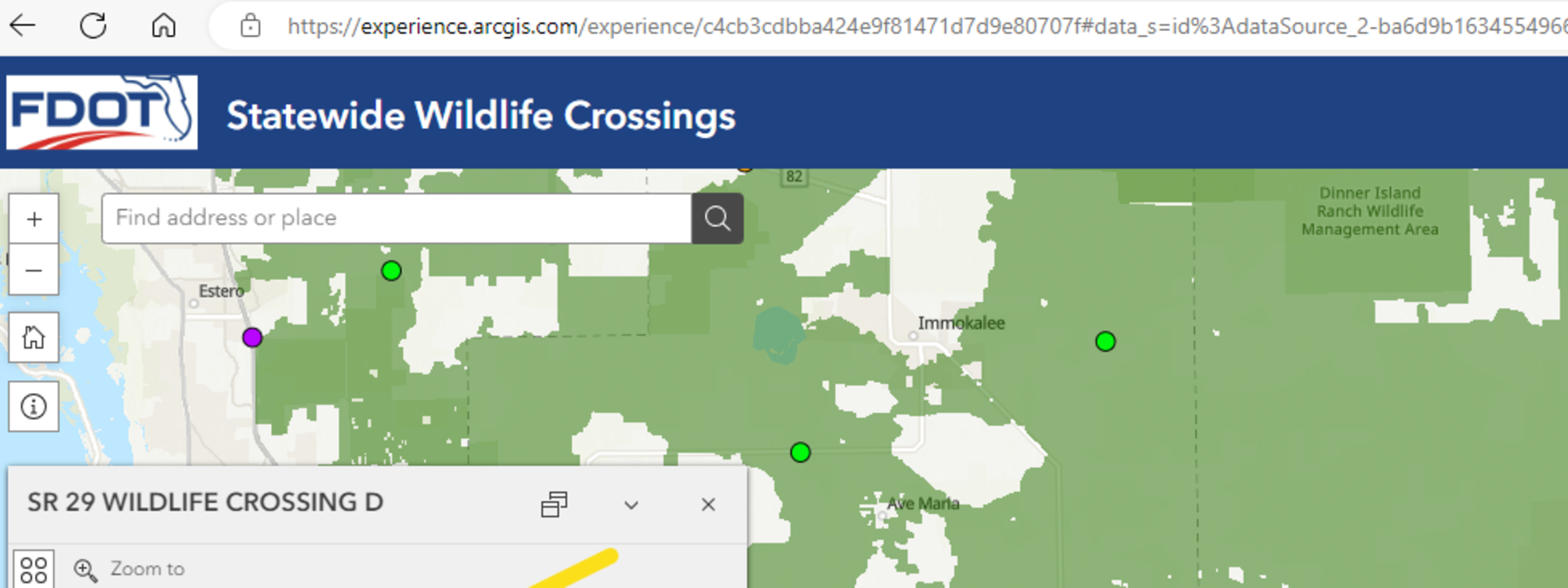
 The FDOT Office of Environmental Management is excited to announce the release of a new, interactive Statewide Wildlife Crossing Map including photo galleries at crossings where cameras have been deployed.
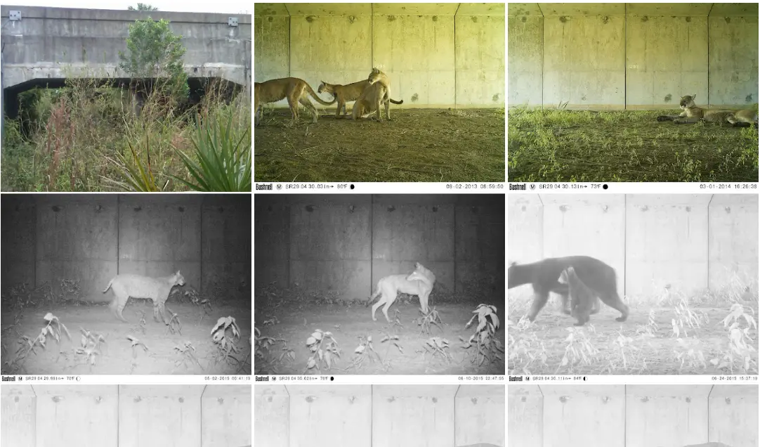
As a quick tutorial, once you open the map, zoom in on a wildlife crossing of interest and click the dot. A box of attributes for that crossing will appear. If that crossing has a photo gallery, “View” will appear next to “Wildlife Photos”. Click the “View” link which will take you to the Google photo gallery (you might have to click past a warning (if allowed) if you are on a government computer).
Statewide Wildlife Crossings Public